P&G, a global FMCG company, used geospatial analysis to optimize their distribution strategies in the US. By analyzing demographic and geographic data, they were able to identify areas with high demand for their products and adjust their distribution strategies accordingly.
Step 1: Data Collection
P&G collected relevant data such as population density, income levels, retail store locations, and product sales data. They used third-party data sources such as the US Census Bureau, Nielsen, and Esri to collect this data.
Step 2: Data Visualization and Analysis
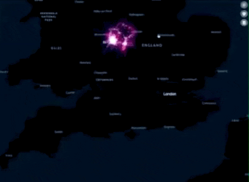
Next, P&G visualized and analyzed the data using geospatial analysis tools such as GIS. They used ArcGIS to analyze the data and create visualizations such as heat maps and scatter plots.
Step 3: Identify Areas with High Demand
Based on the analysis, P&G identified several areas with high demand for their products. For example, they found that there was a high demand for baby products in areas with a high concentration of families with young children. They also identified areas with high demand for beauty products in urban areas with a high concentration of young professionals.
Step 4: Adjust Distribution Strategies
Using the insights gained from geospatial analysis, P&G adjusted their distribution strategies to better serve the identified areas with high demand. They increased the distribution of their baby products in areas with a high concentration of families with young children and increased the distribution of their beauty products in urban areas with a high concentration of young professionals.
They also optimized their distribution network by identifying the most efficient routes for transportation and distribution. They used geospatial analysis to monitor inventory levels and track the movement of goods in real-time, which helped them optimize their supply chain and reduce costs.
Step 5: Evaluate Results
After implementing these changes, P&G evaluated the results and found that their sales had increased in the identified areas with high demand. They also found that their distribution strategies were more efficient and cost-effective, which contributed to the company's overall profitability.
Conclusion
Geospatial analysis played a critical role in helping P&G identify areas with high demand for their products and optimize their distribution strategies. By analyzing demographic and geographic data, they were able to make informed decisions about where to distribute their products and how to optimize their supply chain. This case study demonstrates the power of geospatial analysis in market analysis and decision making for FMCG brands like P&G.
Comments